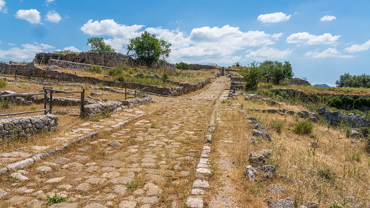
The study, called Itiner-e, mapped nearly 300,000 kilometers (186,000 miles) of Roman roadways across Europe, North Africa and the Middle East, expanding the known network by over 100,000 kilometers, The Associated Press reported. The ability to visualize the ancient routes that Roman farmers, soldiers, diplomats and other travelers took can provide a better understanding of key historical trends that depended on the movement of people during Roman times, said Brughmans — including the rise of Christianity across the region and the spread of ancient outbreaks. "The Romans left a huge impact with this road network," which created the blueprint for many roads still in use today, said study co-author Adam Pažout of the Autonomous University of Barcelona.
Published at: 2025-11-09 21:08:10
Still want to read the full version? Full article